Coastal resilience: What keeps a coastal wetland resilient?
I study how water, sediment, vegetation, sea-level rise, subsidence, and waves interact to determine whether deltas and wetlands persist or cross critical thresholds.
I study coasts as connected Earth systems, bringing together satellite observations, numerical models, and field measurements to understand the processes that shape them and how they respond to a changing climate.
Earth System Scientist · Physical Oceanographer
I study how water, sediment, vegetation, sea-level rise, subsidence, and waves interact to determine whether deltas and wetlands persist or cross critical thresholds.
I combine optical, lidar, and radar observations with process-based models to build transferable approaches for coastal systems where conventional measurements are sparse.
I investigate the pathways and timescales that move water and sediment across estuaries and wetlands, with emerging work extending this framework to coastal carbon transport.
Integrating airborne and satellite observations with hydrodynamic, sediment, and morphodynamic models to understand the processes that build and lose coastal land. This work links water-level change, sediment transport, vegetation, and landscape evolution to evaluate how river deltas respond to subsidence, storms, and sea-level rise.
Using ICESat-2, Sentinel-2, SWOT, global forcing, and a hydrodynamic model to build and test a coastal prediction framework without local in-situ measurements. Satellite-derived bathymetry and water-surface elevation provide independent constraints on model geometry and performance, demonstrating a transferable approach for data-scarce estuaries and lagoons.
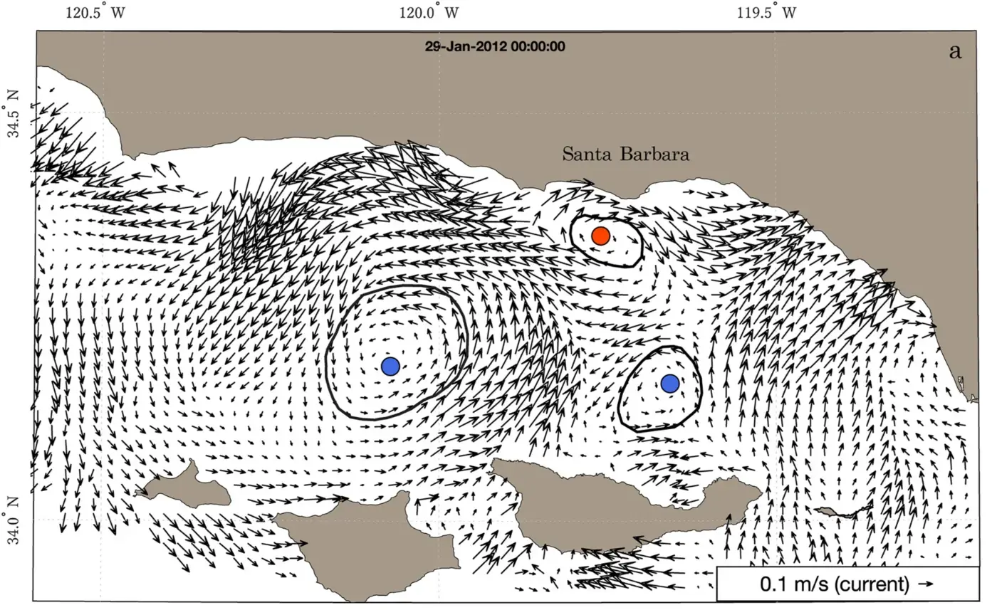
Using a decade of high-frequency radar observations to examine submesoscale eddies, their variability, and their connection to larger-scale ocean conditions.
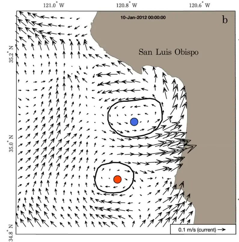
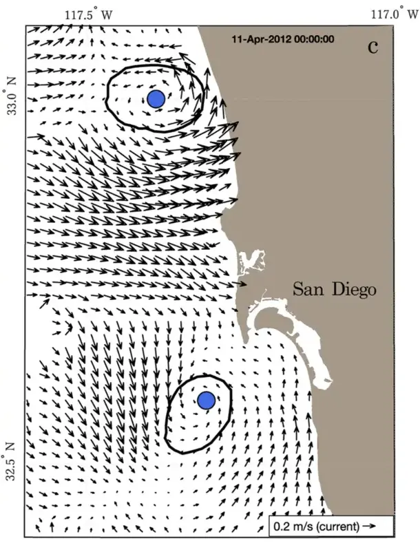
Developing an observation-driven model of a tropical mangrove estuary as a foundation for studying material transport from rivers and wetlands to the coastal ocean.
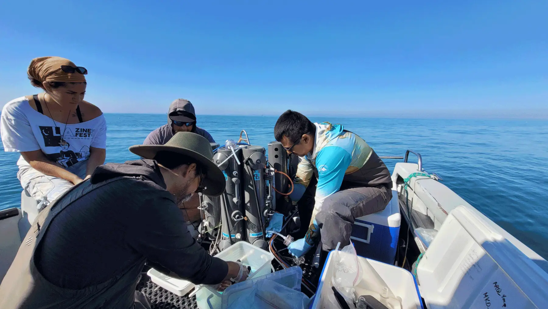
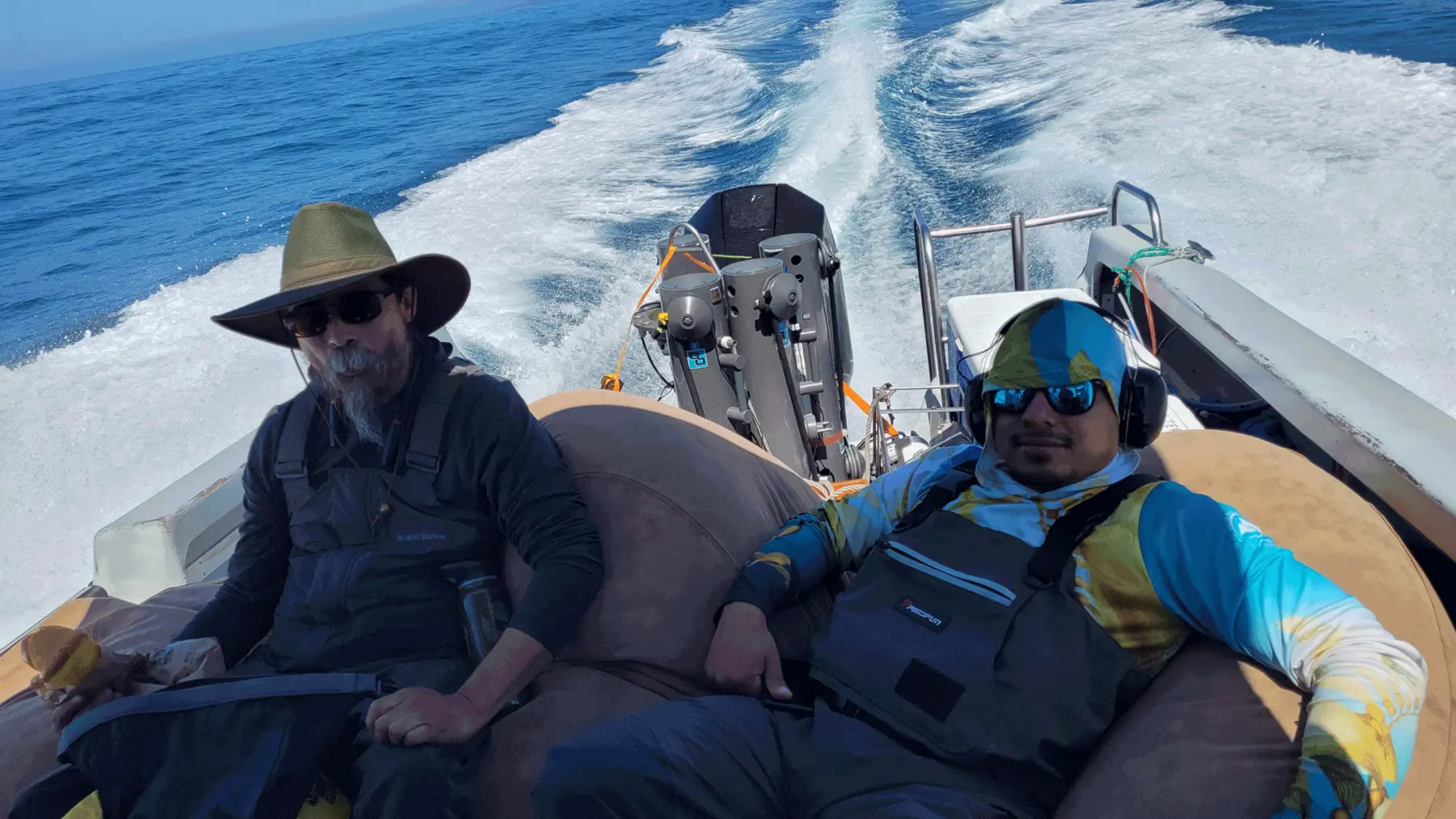
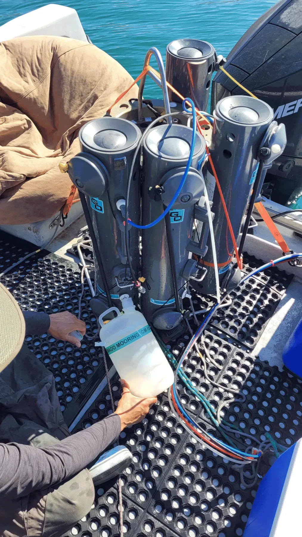
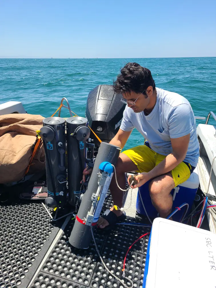
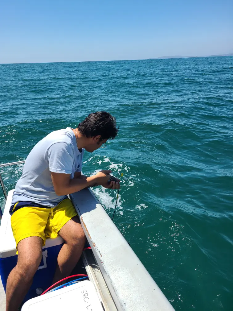
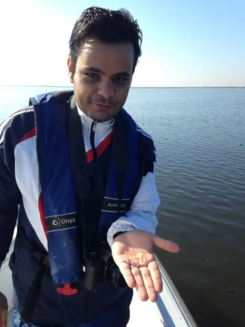
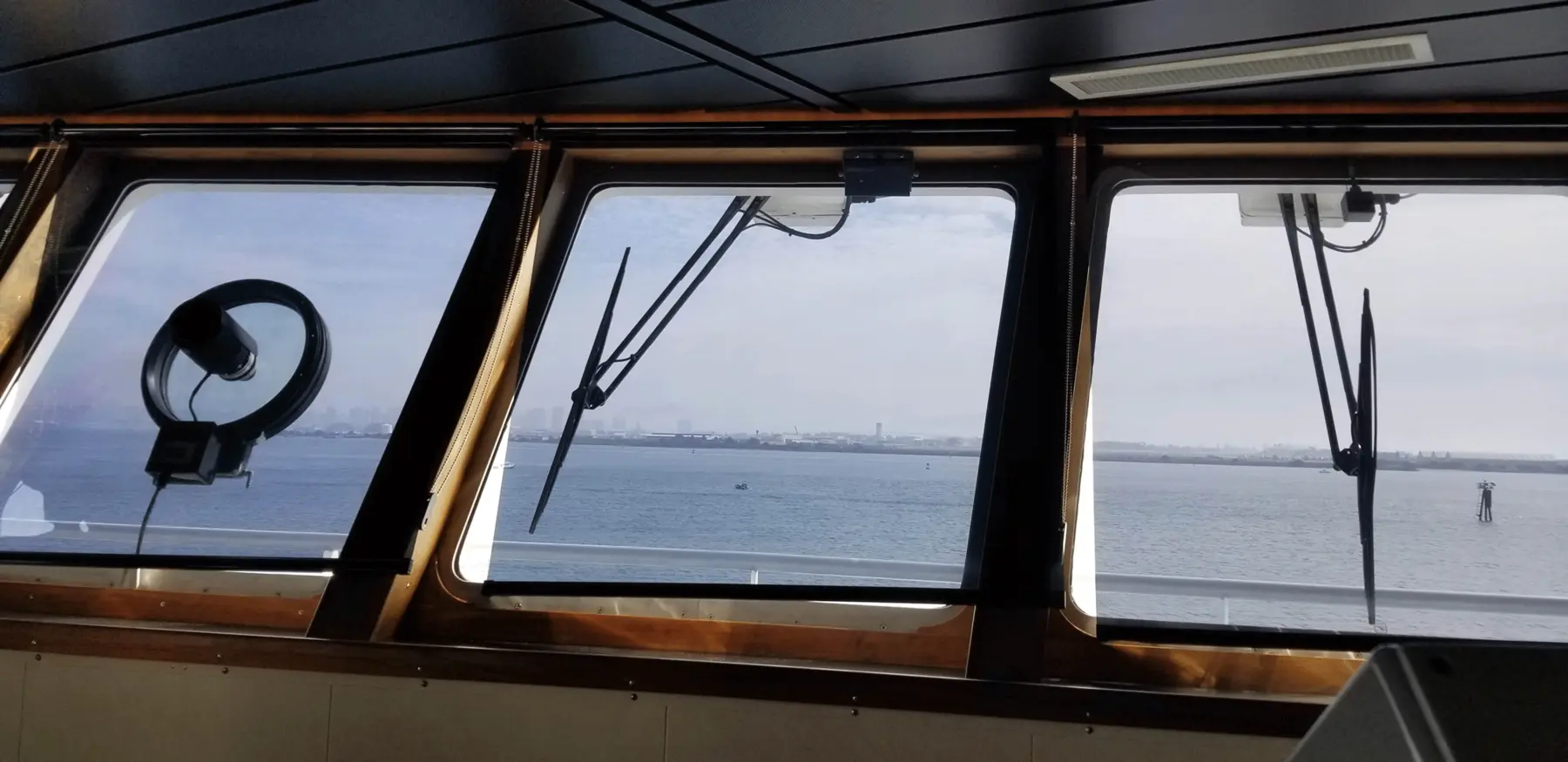
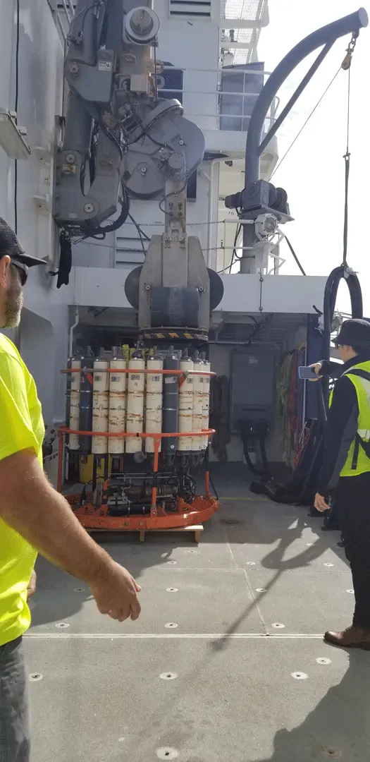
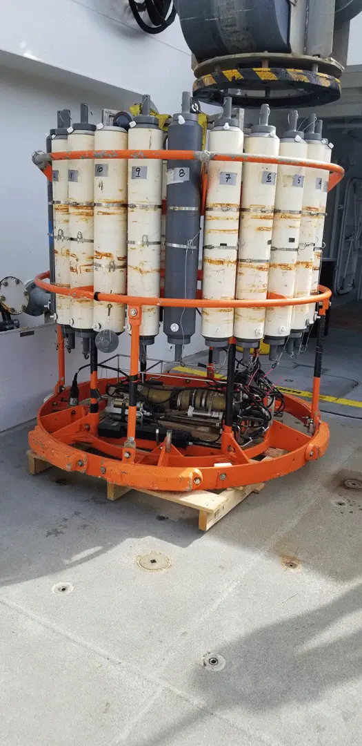
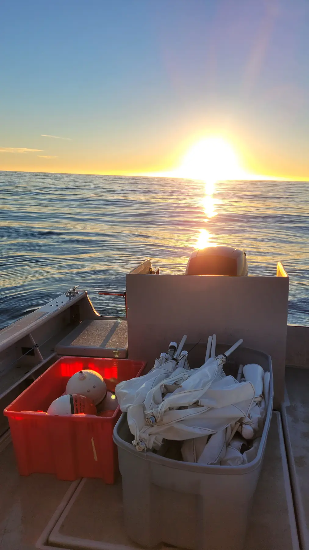
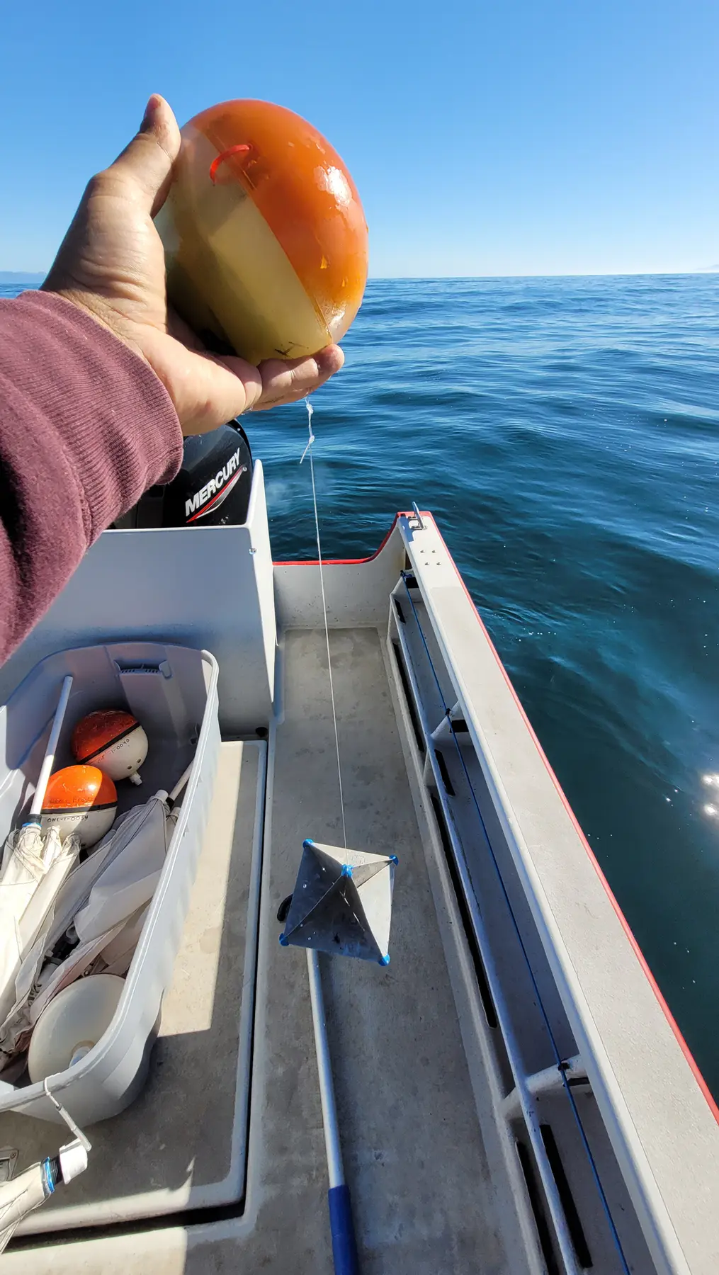
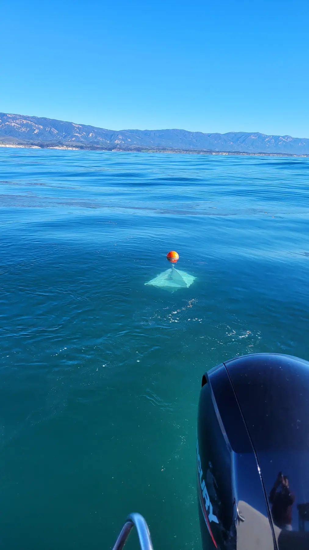
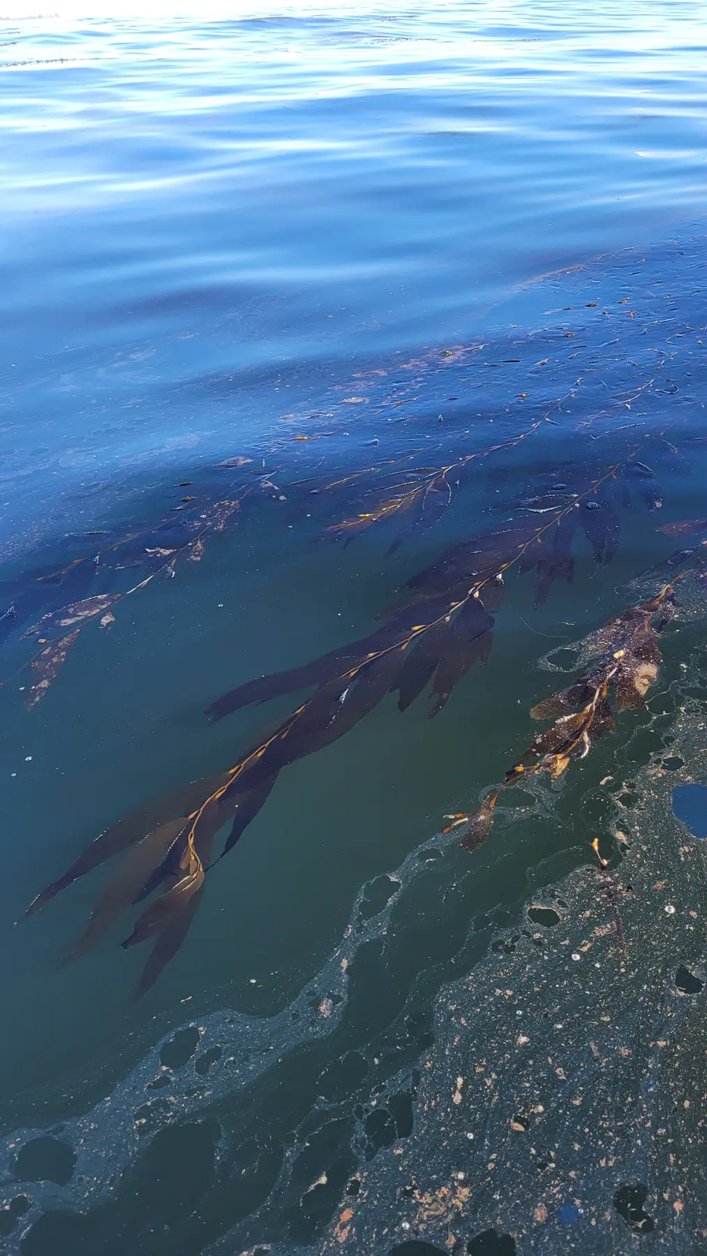
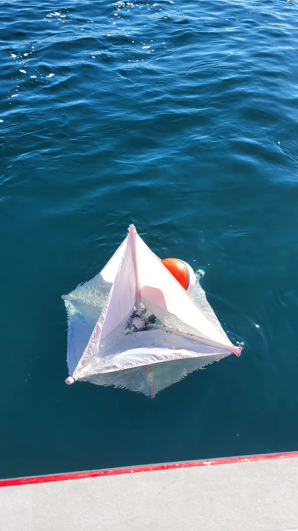
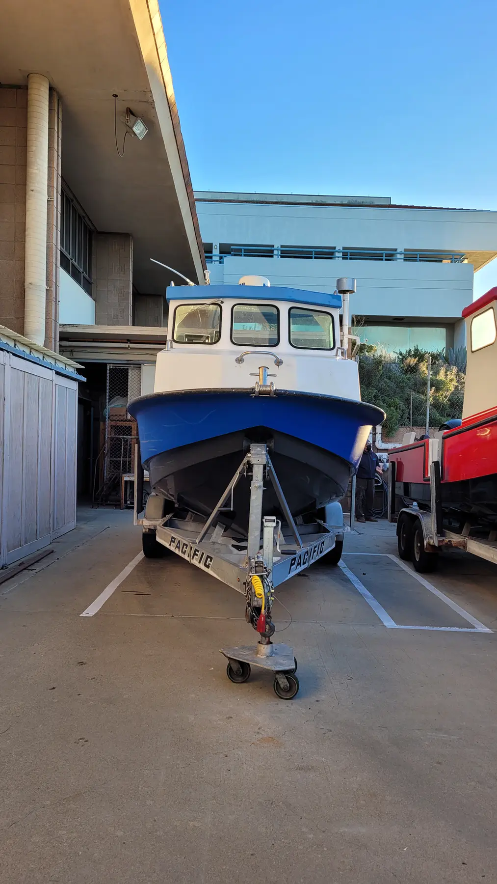
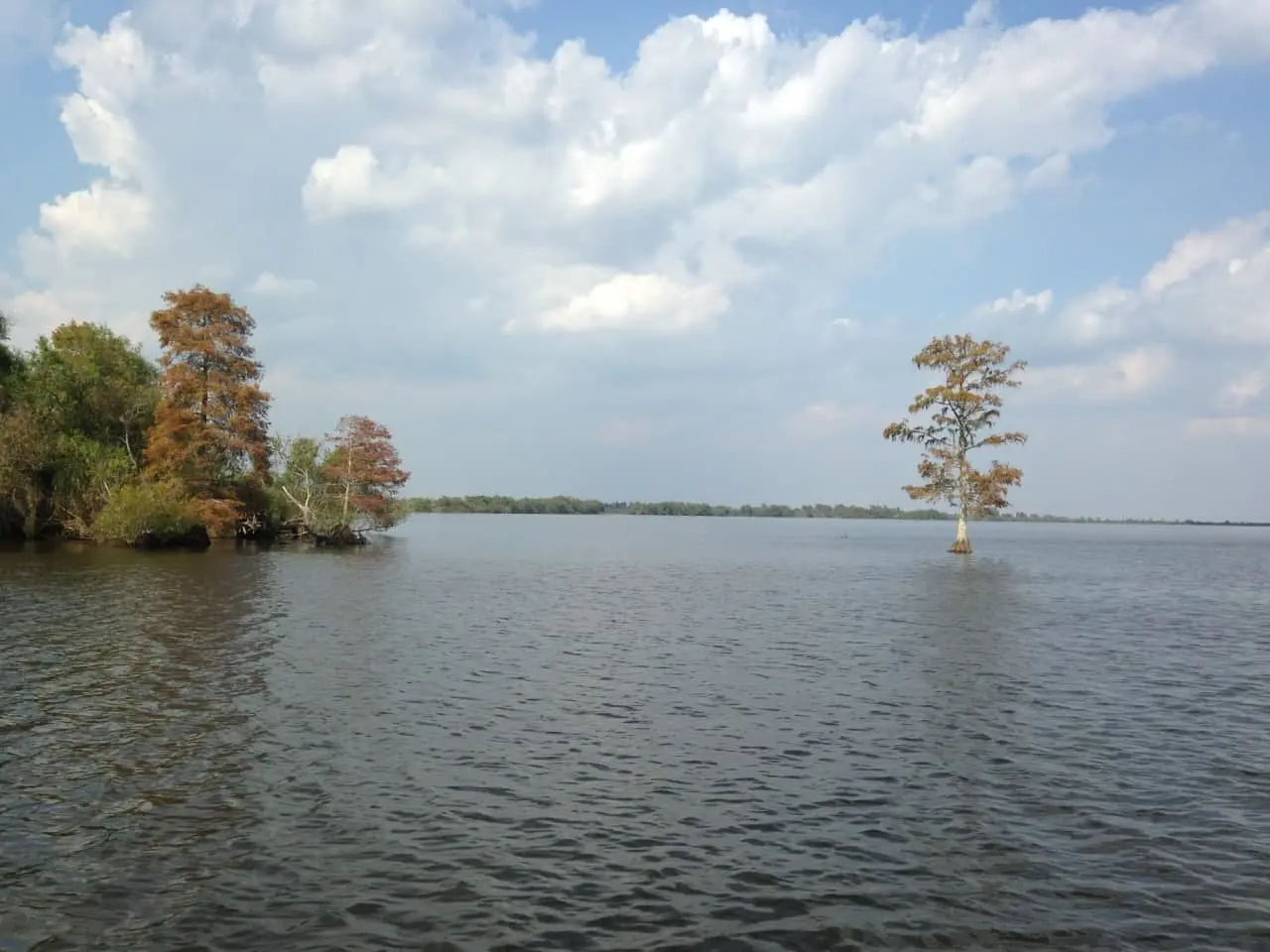
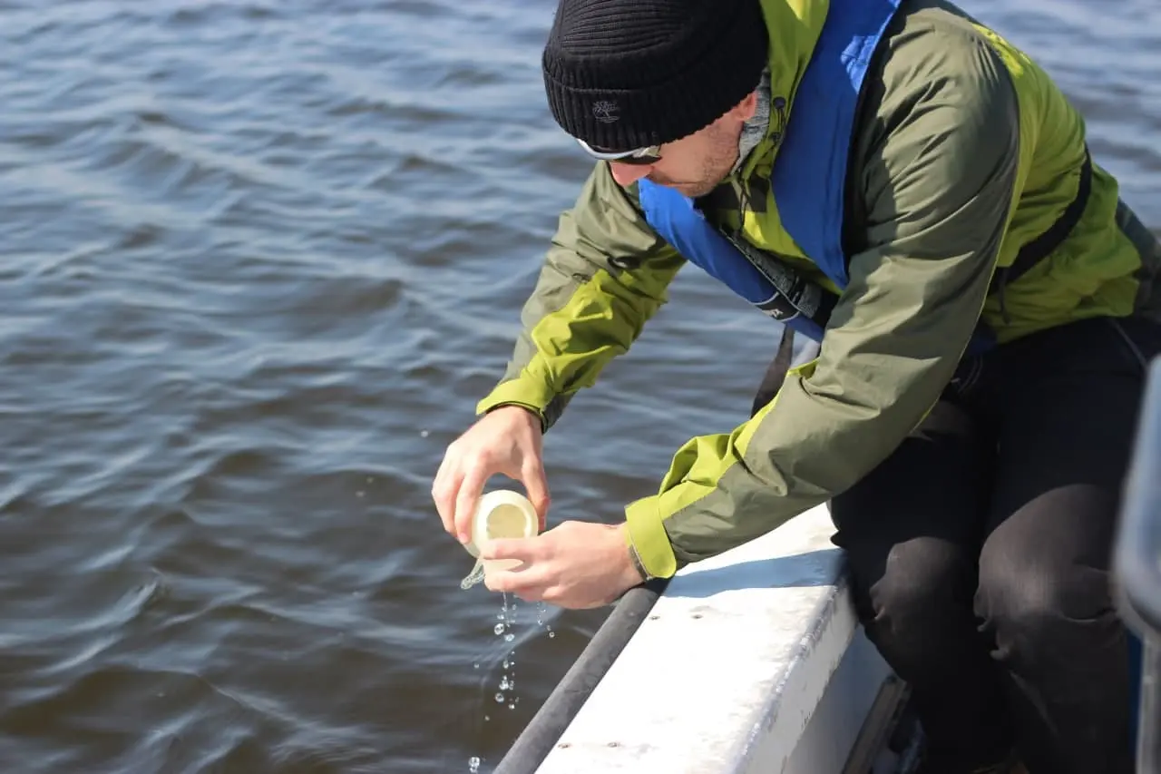
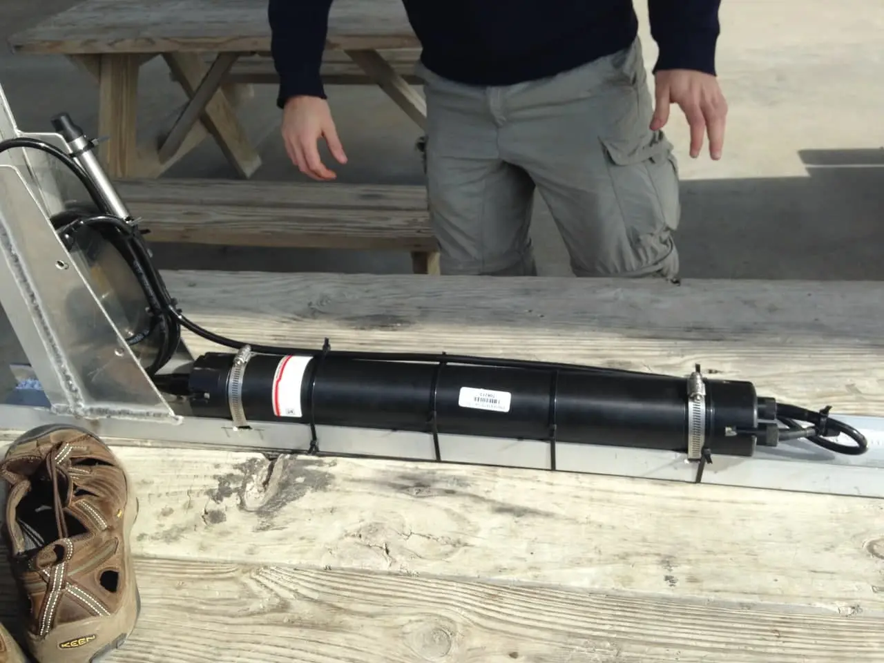
Field measurements keep my models tied to the systems they are meant to represent. My work has included drifter and eddy studies in the Santa Barbara Channel, sediment and water sampling near Grand Isle, and measurements of waves, water level, currents, and turbidity across the Mississippi River Delta Bight and Barataria Bay.
Delivered substitute lectures connecting equations, code, model development, and the analysis of environmental data.
Delivered substitute lectures and supported computational work with coastal ecosystem models.
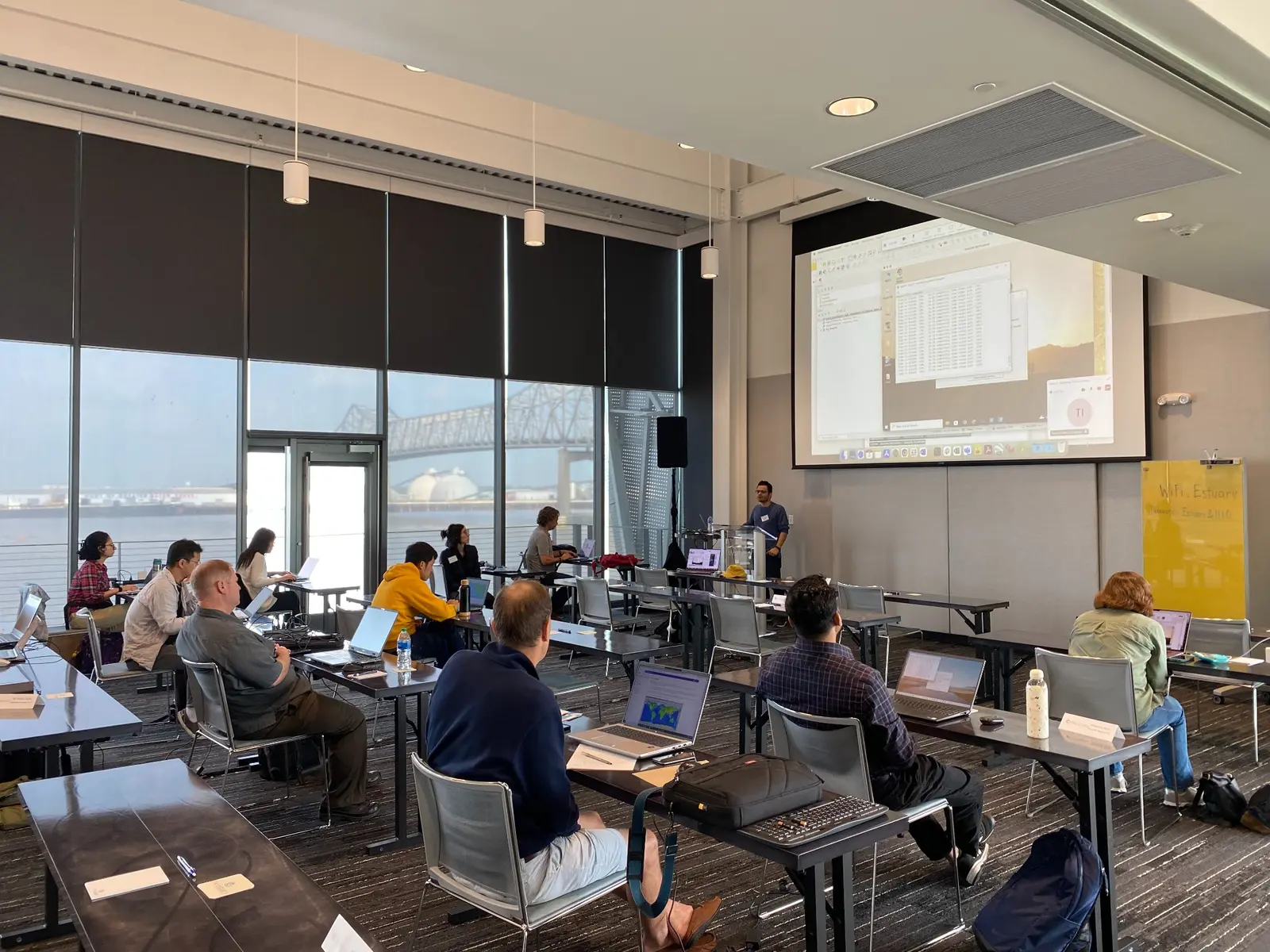
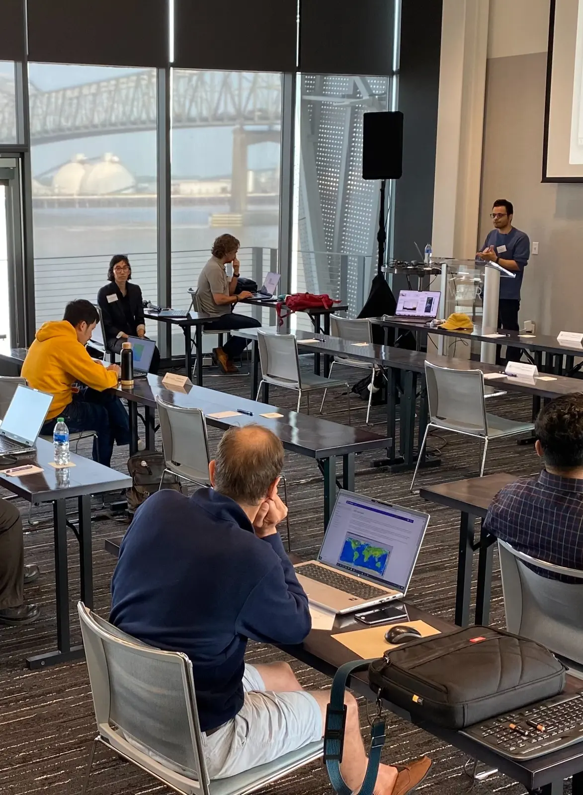
Led two hands-on sessions within a two-day, eight-session program for more than 100 participants. Participants built models and compared simulations directly with remote-sensing observations.
Hands-on sessions
Taught focused computational sessions for scientists working with ocean and coastal data.
Sessions
I care about communicating science outside a specialty, from public conversations about ocean and climate science to my work with Zharfa, a Persian-language podcast and media project.
Episode 9: Human extinction, climate change, and sea-level rise.